From Space: Astonishing Images Of Hurricanes

From Space: Astonishing Images of Hurricanes
Introduction
Hurricanes are among the most fascinating and destructive natural phenomena on Earth, and their impact is felt around the world. One of the most remarkable aspects of hurricanes is how they appear from space. With the help of satellite technology, we can observe hurricanes in real-time and get a sense of their size, movement, and power. This article will explore some of the most astonishing images of hurricanes taken from space, and what they tell us about these incredible storms.
How Do Satellites Capture Images of Hurricanes?

Satellite Technology
Satellites play a crucial role in monitoring hurricanes, providing valuable data that can be used to improve our understanding of these storms and predict their path and intensity. There are several types of satellites used to monitor hurricanes, including geostationary and polar-orbiting satellites.
Infrared Imagery
One of the most common ways that satellites capture images of hurricanes is through infrared imagery. Infrared sensors can detect temperature differences between the earth's surface and the atmosphere, which allows them to create detailed images of cloud patterns and storm systems.
Visible Light Imagery
Another way that satellites capture images of hurricanes is through visible light imagery. This type of imagery shows the actual color of the clouds and can provide a more detailed view of the storm's structure and composition. Visible light imagery is often used in conjunction with other types of satellite imagery to create a more complete picture of the storm.
The Most Astonishing Images of Hurricanes

The Eye of the Storm
One of the most impressive images of a hurricane is the "eye of the storm". The eye is a circular area of calm and relatively clear skies that sits in the center of the hurricane. From space, the eye appears as a perfectly round shape surrounded by a well-defined ring of clouds.
Hurricane Katrina
Hurricane Katrina was one of the most devastating hurricanes in American history, causing widespread destruction and loss of life in Louisiana and Mississippi. Satellite images of Hurricane Katrina show the massive size of the storm, which stretched over 400 miles from end to end, with a well-defined eye and a spiral-shaped cloud system.
Hurricane Sandy
Hurricane Sandy was a powerful hurricane that struck the northeastern United States in October 2012. The storm caused widespread damage, flooding, and power outages in New York, New Jersey, and other parts of the region. Satellite images of Hurricane Sandy show the massive size of the storm, which had a diameter of more than 1,000 miles, and the unusual path it took as it made landfall on the east coast.
How Can These Images Help Us Understand Hurricanes?
![A dynamic, swirling mass of vibrant blue color, with lightning bolts streaking across the [Hurricane Name], viewed from high above](/wp-content/uploads/hurricane-swirl-lightning-817.webp "Intense Hurricane Swirls in Vibrant Blue with Electric Lightning -")
Understanding the Size and Structure of Hurricanes
The images captured by satellites can provide valuable information about the size and structure of hurricanes, which can help us predict their path and intensity. By analyzing the cloud patterns and temperature differences within a storm, meteorologists can track its movement and determine where it is likely to make landfall.
Identifying Potential Threats
Satellite imagery can also be used to identify potential threats from hurricanes, such as storm surge, flooding, and high winds. This information can help emergency responders and local officials prepare for the storm, evacuate people from affected areas, and minimize the risk of injury or damage.
Providing a Captivating View of Nature's Power
Finally, these images provide a fascinating and captivating view of the power of nature. Hurricanes are among the most awe-inspiring natural phenomena on Earth, and seeing them from space provides a unique perspective on their size, complexity, and beauty.
Frequently Asked Questions

-
How do satellites capture images of hurricanes?
Satellites capture images of hurricanes using infrared and visible light sensors, which detect temperature differences and cloud patterns in the atmosphere.
-
What can these images tell us about hurricanes?
These images can provide valuable information about the size, structure, and path of hurricanes, helping meteorologists predict their intensity and identify potential threats.
-
Can these images help us prepare for hurricanes?
Yes, by providing early warning of a storm's approach and identifying potential threats, these images can help emergency responders and local officials prepare for hurricanes and minimize the risk of injury or damage.
-
Why are hurricanes so fascinating?
Hurricanes are fascinating because they are among the most awe-inspiring natural phenomena on Earth, demonstrating the power and complexity of nature.
-
Are hurricanes becoming more frequent or severe?
There is evidence to suggest that hurricanes may be getting stronger and more frequent due to climate change, but more research is needed to fully understand this trend.
Conclusion
The images captured by satellites provide an astonishing view of hurricanes, capturing their size, structure, and power from a unique perspective. These images can help us predict the path and intensity of hurricanes, identify potential threats, and minimize the risk of injury or damage. For those living in hurricane-prone areas, these images can serve as a reminder of the need to prepare for storms and take steps to protect themselves and their property. For all of us, they remind us of the awe-inspiring power of nature and the importance of respecting and preserving our planet.
Thank you for reading this article on HurricaneInsider.org. We encourage you to share your thoughts in the comments section and to positively engage with hurricaneinsider.org, whether by subscribing, sharing the article on social media, or other forms of participation. Stay safe!
Additional Resources

For additional resources on hurricanes, please check out:
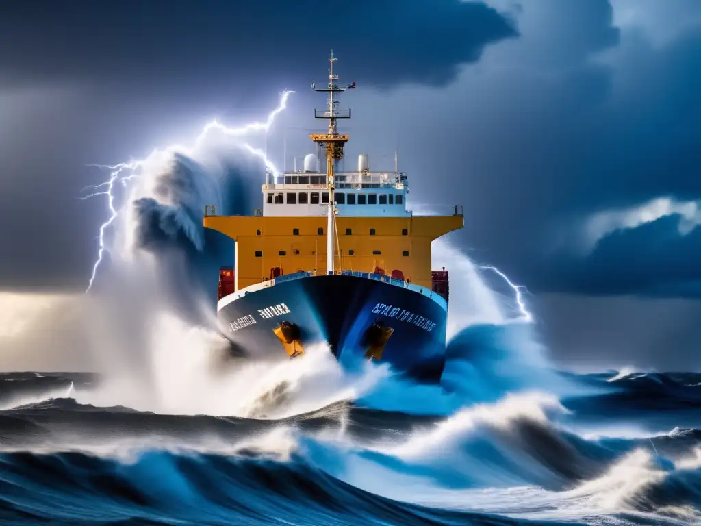 Hurricanes And Shipping: Navigating The Storm
 Predicting The Unpredictable: The Challenges Of Hurricane Forecasting
 Dispelling Hurricane Myths
If you want to discover more articles similar to From Space: Astonishing Images Of Hurricanes, you can visit the Basic knowledge about hurricanes: category.
Leave a Reply
Articulos relacionados: