The History And Development Of Hurricane Forecasting

The History and Development of Hurricane Forecasting
Introduction
As devastating a natural disaster as hurricanes can be, they don't come as a surprise anymore. Thanks to the advancement of technology and the diligent work of scientists and meteorologists worldwide, we're now able to predict the path and potential impact of these storms with impressive accuracy compared to just a few decades ago. In this article, we'll delve into the history of hurricane forecasting, how it has changed and evolved over time, and where we are today in our efforts to minimize the impact of these potentially deadly storms.
The Early Days of Hurricane Forecasting

The Great Galveston Hurricane of 1900
The Great Galveston Hurricane was one of the deadliest natural disasters in U.S. history that occurred on September 8, 1900, in Texas. The hurricane left between 6,000 and 12,000 fatalities, making it the deadliest disaster in U.S. history. In those days, the science of meteorology was still in its infancy, and there was no warning system for tropical storms and hurricanes. That all changed after the Galveston hurricane.
The Cuban Hurricane of 1932
The 1932 Cuba hurricane was one of the deadliest and most destructive hurricanes in the history of Cuba and the United States. It developed off the western coast of Africa on August 26, 1932, and dissipated over Newfoundland on September 17. This hurricane had a major impact on both Cuba and the United States. Thousands of homes, bridges, and infrastructure were destroyed.
The Creation of The Hurricane Hunters
In 1944, the US military began routinely using aircraft to fly into hurricanes to learn more about the storms. These missions, known as "Hurricane Hunters," have since been adopted into the NOAA's National Hurricane Center, which uses a fleet of aircraft to fly into hurricanes and gather data on wind speed, barometric pressure, temperature, humidity, and more. This valuable data helps meteorologists more accurately predict the path and intensity of hurricanes.
The Modern Era of Hurricane Forecasting
Early Computer Models
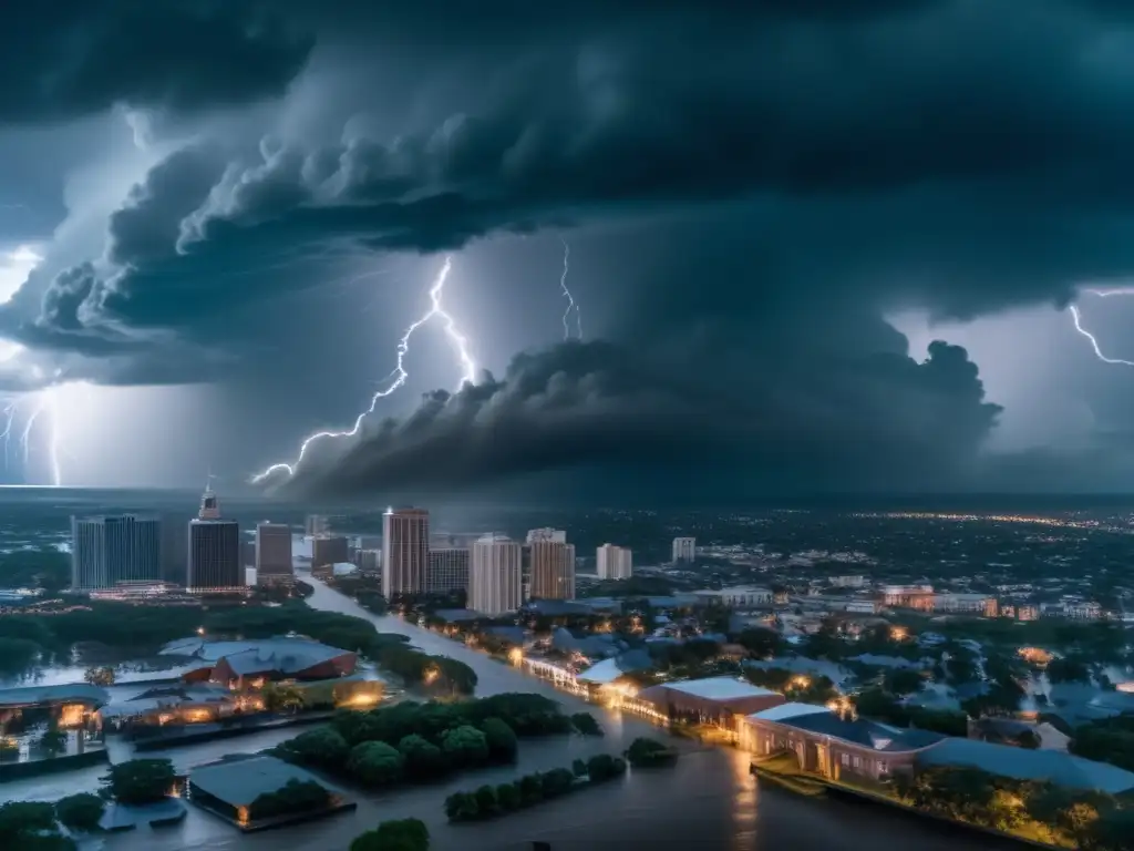
Beginning in the 1950s, early computer models were used to forecast hurricane movement. The first digital computer model for weather forecasting was developed in 1950 by Jule G. Charney and colleagues at the Institute for Advanced Study in Princeton, New Jersey. Since then, computer models have become more sophisticated and accurate.
The Use of Satellite Imagery
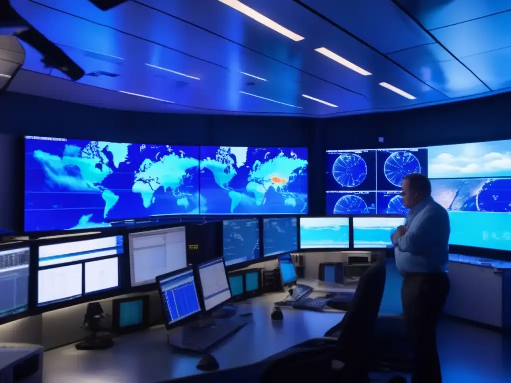
Satellites have revolutionized the way we track hurricanes. By giving us a bird's-eye view of the storms, satellites make it possible to see the structure and movement of hurricanes over vast distances. We can also use satellite imagery to identify areas of potential development, which means we can start tracking a storm earlier and give people more time to prepare.
The Impact of Technology
In recent years, technology has made it easier to access real-time data and track hurricanes. Online platforms like the National Hurricane Center website make it easier for people to get up-to-date information about hurricanes. Social media platforms like Twitter and Facebook have become invaluable tools for spreading information about hurricanes and coordinating relief efforts. Mobile apps are also available that allow people to track storms and receive alerts on their phones.
Future Advances in Hurricane Forecasting

Improving Predictive Models
One of the biggest challenges facing meteorologists is predicting the intensity of hurricanes. While advances in technology have made it possible to track hurricanes with impressive accuracy, predicting the intensity of a storm is still a complicated process. However, scientists are working on developing new predictive models that will help us better forecast the strength and damage potential of hurricanes.
The Role of Artificial Intelligence
Artificial intelligence has the potential to revolutionize hurricane forecasting by allowing us to analyze data in real-time and make more accurate predictions. For example, machine learning algorithms could be used to analyze patterns in satellite imagery to predict the path of a hurricane. AI could also be used to run simulations that would allow us to test different scenarios and see how they might impact the storm.
New Sensor Technologies
New sensor technologies could also play a role in improving hurricane forecasting. For example, drones equipped with sensors could be used to collect data on the physical properties of a hurricane, such as temperature, humidity, and wind speed. This data could then be used to improve our predictive models and provide more accurate information to people in the path of a storm.
Frequently Asked Questions
-
What is the National Hurricane Center?
The National Hurricane Center is a division of the National Oceanic and Atmospheric Administration (NOAA) that tracks and forecasts tropical storms and hurricanes in the Atlantic and Eastern Pacific Basins.
-
When is hurricane season?
Hurricane season officially runs from June 1st to November 30th each year in the Atlantic Basin.
-
How do scientists study hurricanes?
Scientists use a variety of tools to study hurricanes, including aircraft, satellites, and buoys. They also use computer models to analyze weather data and predict the track and intensity of hurricanes.
-
What is storm surge?
Storm surge is the rise in water level that occurs during a hurricane or tropical storm. It is caused by the combination of high winds and low atmospheric pressure, which can push water onto shore.
-
What should I do to prepare for a hurricane?
It's important to have a plan in place before a hurricane strikes. This includes stocking up on supplies like food, water, and medications, securing your home, and evacuating if necessary.
Conclusion
Hurricane forecasting has come a long way since the early days of meteorology. Thanks to advances in technology and the hard work of scientists and meteorologists worldwide, we are now better able to predict the path and potential impact of these potentially deadly storms. However, there is still much room for improvement. By continuing to invest in new technologies and research, we can work towards minimizing the impact of hurricanes on our communities and protecting those who are most vulnerable.
We hope this article has provided valuable insight into the history and development of hurricane forecasting. If you have any thoughts or comments, please leave them below. And don't forget to follow HurricaneInsider.org for more information on how to prepare and stay safe during hurricane season!
Additional Resources
 The Relationship Between Ocean Temperatures And Hurricanes
 Understanding Hurricane Watches And Warnings
 The Role Of Satellites In Hurricane Detection And Tracking
If you want to discover more articles similar to The History And Development Of Hurricane Forecasting, you can visit the Basic knowledge about hurricanes: category.
Leave a Reply

Articulos relacionados: