The Role Of Satellites In Hurricane Detection And Tracking

The Role of Satellites in Hurricane Detection and Tracking
Introduction
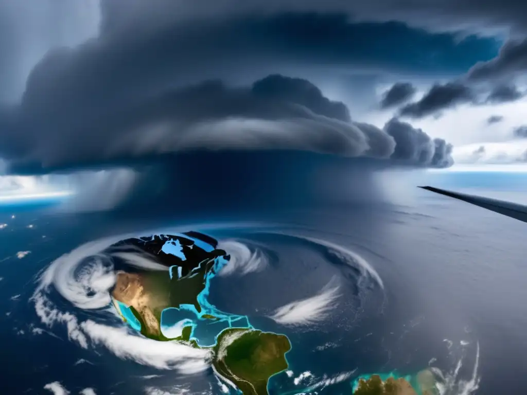
Hurricanes are some of the most violent and destructive natural disasters that cause devastating damage to human lives, properties, infrastructure, and economies. Their detection, tracking, and accurate forecasting are essential for saving lives and minimizing damages. In this regard, satellites play a crucial role in providing timely and reliable data and imagery to meteorologists and emergency responders. Satellites have revolutionized hurricane detection and tracking by providing a global view of storms, real-time observations, weather forecasting, and advanced warning systems. This article explores the role of satellites in hurricane detection and tracking.
Satellite Types Used in Hurricane Detection and Tracking

Passive Microwave Sensors
Passive microwave sensors are instruments that measure the microwaves that naturally emanate from Earth's atmosphere, oceans, and land. They can detect the physical and chemical properties of clouds, precipitation, humidity, temperature, and other atmospheric parameters. Passive microwave data is useful in predicting the intensity of hurricanes, detecting rainfall rates, monitoring sea surface temperature, and detecting the location of the eye of the hurricane.
Infrared Sensors
Infrared sensors measure the temperature of objects and surfaces by sensing the radiation they emit at various wavelengths. The sensors detect the temperature of the cloud tops and the surrounding environment. Monitoring cloud top temperatures is an essential tool for detecting the formation, strength, and movement of hurricanes. The temperature difference between the hurricane's eye and its surrounding cloud tops can provide important information about the storm.
Radar Sensors
Radar sensors use electromagnetic waves to create images of the Earth's surface and detect objects within a range. Radars can see through clouds, rain, and darkness and can observe the shape and structure of a hurricane. Doppler radar can measure the speed and direction of the winds inside a hurricane. This information is essential for determining the storm's intensity, direction, and potential path.
Visible Light Sensors
Visible light sensors capture images of the Earth using visible light wavelengths. They can provide high-resolution images of the surface and cloud formations. Visible light sensors are useful for determining the size and shape of a hurricane, tracking its movement, and identifying dangerous conditions in real-time.
How Satellites Help in Hurricane Detection and Tracking

Early Detection
Satellites can detect hurricanes before they form and track their development from birth to maturity. Meteorologists depend on satellite imagery to look for disturbances in the atmosphere that can develop into hurricanes. The continuous monitoring of the weather from space provides early warnings about developing storms, allowing enough time for preparation and emergency response activities.
Accurate Tracking
Satellites provide accurate information about the location, speed, and direction of a hurricane. The data from satellites is used to create models that predict the trajectory of the storm, estimate its landfall, and determine its potential impact. Satellite images also help identify the most vulnerable areas and populations in the path of the hurricane.
Predicting Intensity
Hurricane intensity can change rapidly, making it challenging to predict accurately. Satellites help measure the temperature, pressure, and humidity of a hurricane, which are all factors that affect its intensity. These measurements are fed into models that accurately predict the hurricane's intensity, critical for issuing appropriate warnings and alerts.
Real-time Monitoring
Satellites provide real-time monitoring of a hurricane's path and other vital data. This information is essential for updating forecasts and making timely decisions concerning evacuations, emergency response, and other mitigation strategies. The images and data sent by satellites help emergency responders assess the damage caused by the hurricane and plan recovery efforts.
Improved Communication
Satellite communication systems allow for the sharing of data and information between different agencies involved in emergency response activities. This information-sharing helps coordinate rescue and relief efforts effectively.
Frequently Asked Questions

-
How do satellites help in predicting hurricane landfall?
Satellites provide real-time images and data about the size, speed, and direction of hurricanes. This information is fed into models that predict the trajectory of the hurricane, estimate its landfall, and determine its potential impact.
-
What types of satellites are used in hurricane detection and tracking?
Satellites with passive microwave sensors, infrared sensors, radar sensors, and visible light sensors are used in hurricane detection and tracking.
-
Why is real-time monitoring of hurricanes important?
Real-time monitoring of hurricanes is critical for updating forecasts and making timely decisions concerning evacuations, emergency response, and other mitigation strategies. The images and data sent by satellites help emergency responders assess the damage caused by the hurricane and plan recovery efforts.
-
What is Doppler radar?
Doppler radar can measure the speed and direction of the winds inside a hurricane. This information is essential for determining the storm's intensity, direction, and potential path.
-
Can satellites detect hurricanes before they form?
Yes, satellites can detect disturbances in the atmosphere that can develop into hurricanes. Meteorologists depend on satellite imagery to look for these disturbances and monitor their development to provide early warnings.
Conclusion
Satellites have revolutionized hurricane detection and tracking by providing meteorologists with the tools they need to accurately predict the path, intensity, and potential impact of a hurricane. The use of various satellite sensors provides timely, accurate and critical data that can be used for mitigation strategies, disaster response and helps save human lives. The importance of satellite technology in hurricane detection and tracking cannot be overstated and serves as a reminder of how vital science-based solutions are in dealing with natural disasters.
Additional Resources

- How Satellites are Helping Predict Hurricane Movement
- NASA Hurricanes Resource Site
- National Hurricane Center
 Tropical Storms Vs Hurricanes: Key Differences
 How Hurricanes Are Named And Why
 The Impact Of Hurricanes On The Fishing Industry
If you want to discover more articles similar to The Role Of Satellites In Hurricane Detection And Tracking, you can visit the Basic knowledge about hurricanes: category.
Leave a Reply

Articulos relacionados: