Utilizing Technology For Safety During A Hurricane
Utilizing Technology for Safety During a Hurricane
Introduction
Hurricanes are natural disasters that pose significant threats to life and property. With wind speeds of up to 157 mph, flooding, and storm surges, hurricanes can cause enormous devastation in their wake. One of the most crucial aspects of surviving a hurricane is preparation and safety planning. In recent years, technology has significantly improved hurricane preparedness, response, and recovery efforts. In this article, we will explore how utilizing technology can enhance safety during a hurricane.
Satellite Imagery and Forecasting
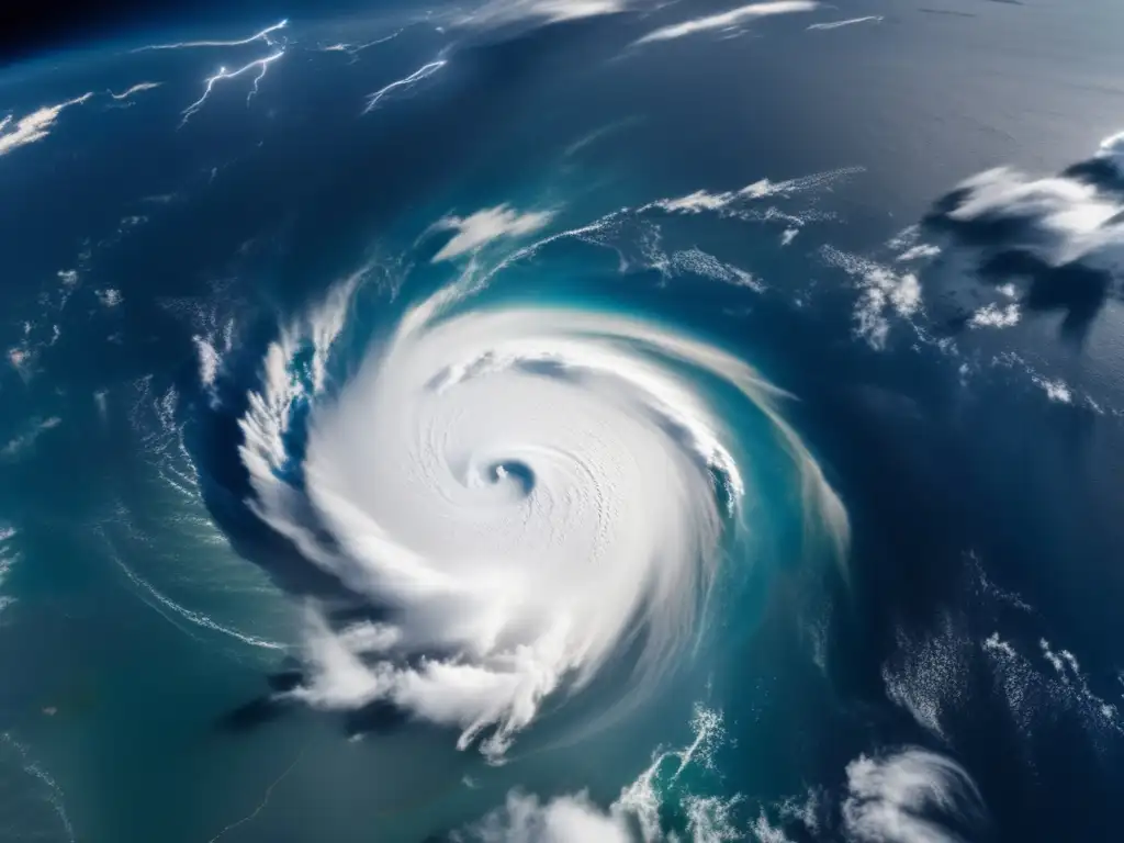
Satellite Imagery
Satellite imagery is an essential tool for forecasting and monitoring hurricanes. The National Oceanic and Atmospheric Administration (NOAA) uses satellites to capture high-resolution images and data on hurricane formation, track, intensity, and direction. These images provide meteorologists with critical information to predict the storms' trajectory, allowing emergency response teams to prepare for the storm's impact. Satellite imagery is also useful in assessing the extent of damage caused by the hurricane after it passes.
Forecasting
Using advanced models and forecasting techniques, meteorologists can now predict the trajectory of a hurricane several days before it makes landfall. This information allows local authorities to enact appropriate safety measures such as issuing evacuation orders, closing down businesses, and preparing emergency shelters. Additionally, real-time updates from hurricane hunter aircraft provide further insights into the storm's strength and direction, which enable meteorologists to update forecasts and help emergency responders plan accordingly.
Emergency Communication Systems
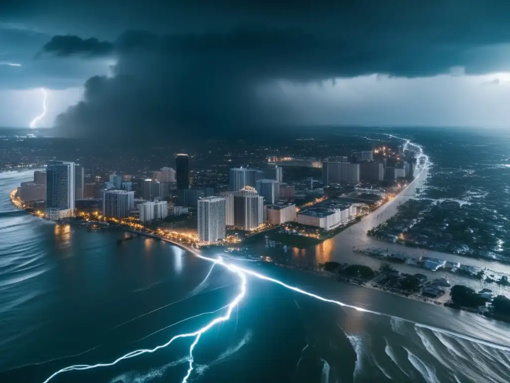
Emergency Alerts
Emergency communication systems are vital in providing timely warnings and alerts to individuals living in hurricane-prone areas. The Emergency Alert System (EAS) and Wireless Emergency Alerts (WEA) are mobile alert systems designed to provide critical information directly to individuals' devices, including alerts related to severe weather conditions such as hurricanes. These alert systems allow individuals to take immediate action to ensure their safety during a hurricane.
Social media platforms like Twitter and Facebook have become essential communication tools during disasters such as hurricanes. Local authorities can use social media to share information on evacuation routes, storm shelters, and other crucial updates. Residents can also use social media to seek assistance and share information about the storm's impact in real-time.
Flood Mapping and Modeling

Flood Mapping
Flood mapping is an innovative technology that allows emergency responders to map out areas that are likely to be affected by flooding during a hurricane. Using data from satellites, local authorities can identify areas at risk of flooding, allowing them to evacuate residents and businesses from those areas. Flood mapping also enables local authorities to plan and develop flood protection measures to mitigate future risks.
Flood Modeling
Advanced flood modeling software is used to simulate and predict the extent and severity of flooding that may occur during a hurricane. This software provides local authorities with detailed information about potential flood hazards, allowing them to make informed decisions about the best course of action. Additionally, this information is useful for insurance companies in determining policy rates and coverage in high-risk flood areas.
Drones
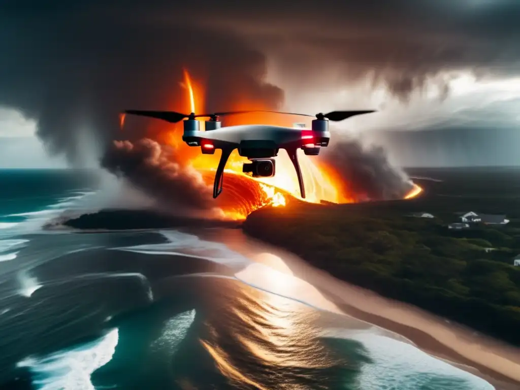
Assessing Damage
Drones are increasingly being used to assess hurricane damage after the storm has passed. Drones can access hard-to-reach areas and capture high-resolution images and videos, allowing emergency responders to quickly assess the extent of damage and determine which areas require immediate attention. These images can also be used to create detailed maps of affected areas, helping local authorities plan recovery efforts.
Search and Rescue
Drones equipped with thermal imaging cameras can also be used in search and rescue operations during a hurricane. Hurricane survivors stranded in floodwater can be located using thermal imaging, allowing rescue teams to reach them promptly and safely. This technology saves valuable time that would have otherwise been spent manually searching for survivors, improving the chances of rescuing individuals trapped in hazardous situations.
Frequently Asked Questions
-
What is a hurricane?
A hurricane is a tropical cyclone characterized by strong winds, heavy rainfall, storm surges, and flooding.
-
Why is preparation important during a hurricane?
Preparation is crucial during a hurricane to ensure the safety of individuals and minimize property damage. Adequate preparation can include creating a safety plan, stocking up on supplies, and evacuating if necessary.
-
How do emergency communication systems help during a hurricane?
Emergency communication systems provide timely warnings and alerts to individuals living in hurricane-prone areas, enabling them to take immediate action to ensure their safety.
-
What should I do if I receive an emergency alert during a hurricane?
If you receive an emergency alert during a hurricane, follow the instructions provided by local authorities immediately. This can include evacuating your home or moving to a designated shelter.
-
How can drones help during a hurricane?
Drones can assist in assessing damage and search and rescue operations after a hurricane. Drones equipped with thermal cameras can locate survivors stranded in floodwater, improving the chances of rescuing them.
Conclusion
Utilizing technology can significantly enhance safety during a hurricane. From forecasting to emergency communication systems, flood mapping, and drones, technology has revolutionized how local authorities and emergency responders prepare for, respond to, and recover from hurricanes. It is crucial for individuals living in hurricane-prone areas to stay informed about available technology and use it to their advantage when preparing for a storm. Remember to follow local authorities' instructions and evacuate if necessary to ensure your safety during a hurricane.
We hope that this article has provided valuable insights into how technology can enhance safety during a hurricane. If you have any thoughts or suggestions, please feel free to share them in the comments section below. Don't forget to subscribe to hurricaneinsider.org for the latest hurricane-related updates and information.
Additional Resources
For more information on hurricane preparedness and safety, check out the following resources:
- National Oceanic and Atmospheric Administration - https://www.noaa.gov/hurricane-preparedness
- Ready.gov - https://www.ready.gov/hurricanes
 When The Roof Blows Off: What To Do In A Major Home Breach
 Preserving Food Without Power During A Hurricane
 On Thin Ice: Managing Refrigeration During A Hurricane
If you want to discover more articles similar to Utilizing Technology For Safety During A Hurricane, you can visit the During the hurricane: category.
Leave a Reply

Articulos relacionados: